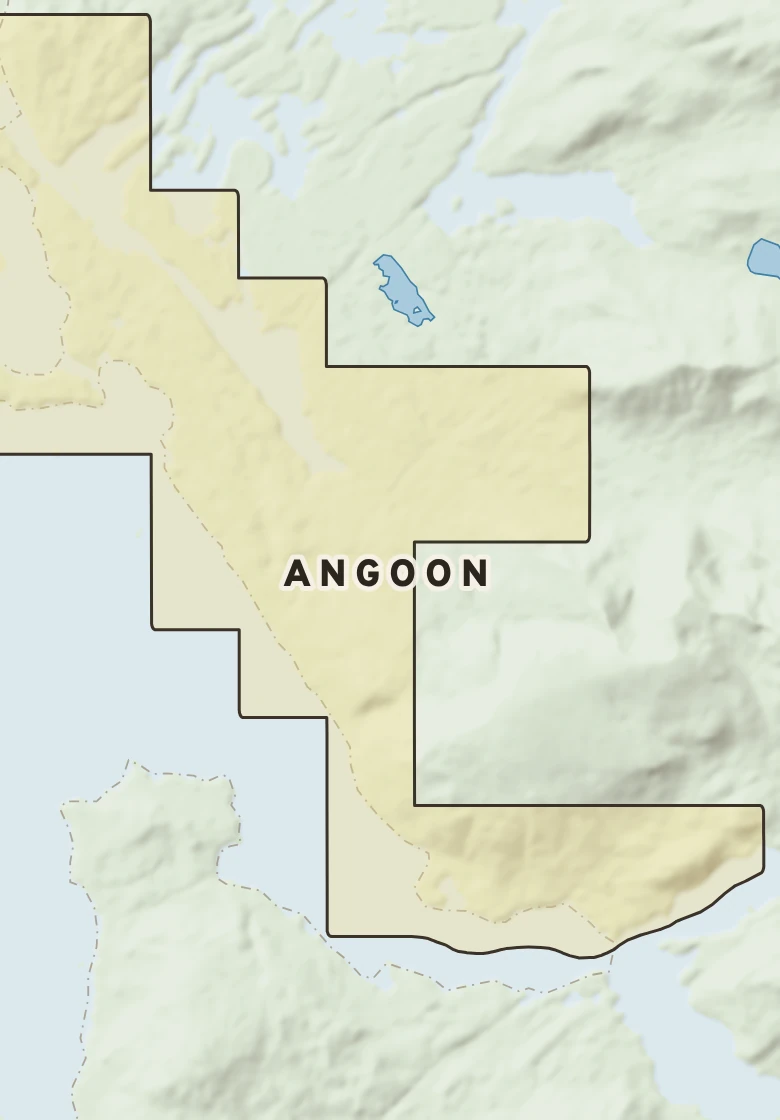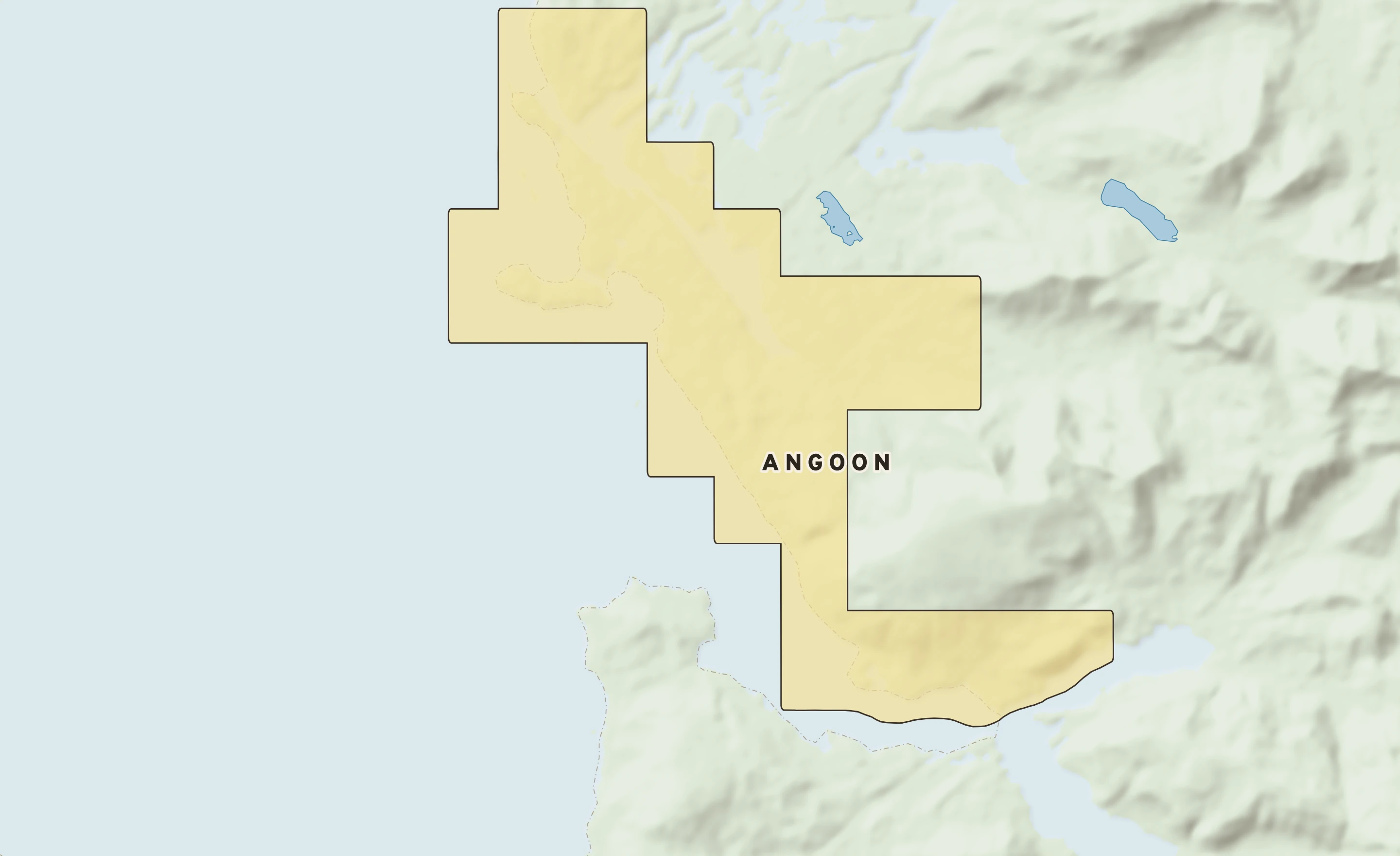
The Angoon plate. Relief from Copernicus GLO-30; rivers and lakes from USGS NHD; watersheds from the USGS Watershed Boundary Dataset; roads and city limits from Census TIGER 2024.
Angoon’s center stands about 630 ft above sea level. Within three miles the land runs from 20 ft to 2,920 ft, a difference of 2,900 ft: mountain country. Open water lies within three miles. The highest named summit within 15 miles is Bear Pass Mountain, about 3,770 ft, 12 miles southeast.
Heights every 0.1 mile from the Copernicus GLO-90 surface model; vertical exaggeration about 6×.
Heights from Copernicus GLO-90 (a surface model: it includes buildings and tree canopy); summits from USGS GNIS; rivers from USGS NHDPlus HR.