MILE1
TODAY
Air Mail
The seven-day forecast against the normal, where today’s air came from, and what happened this week in years past.
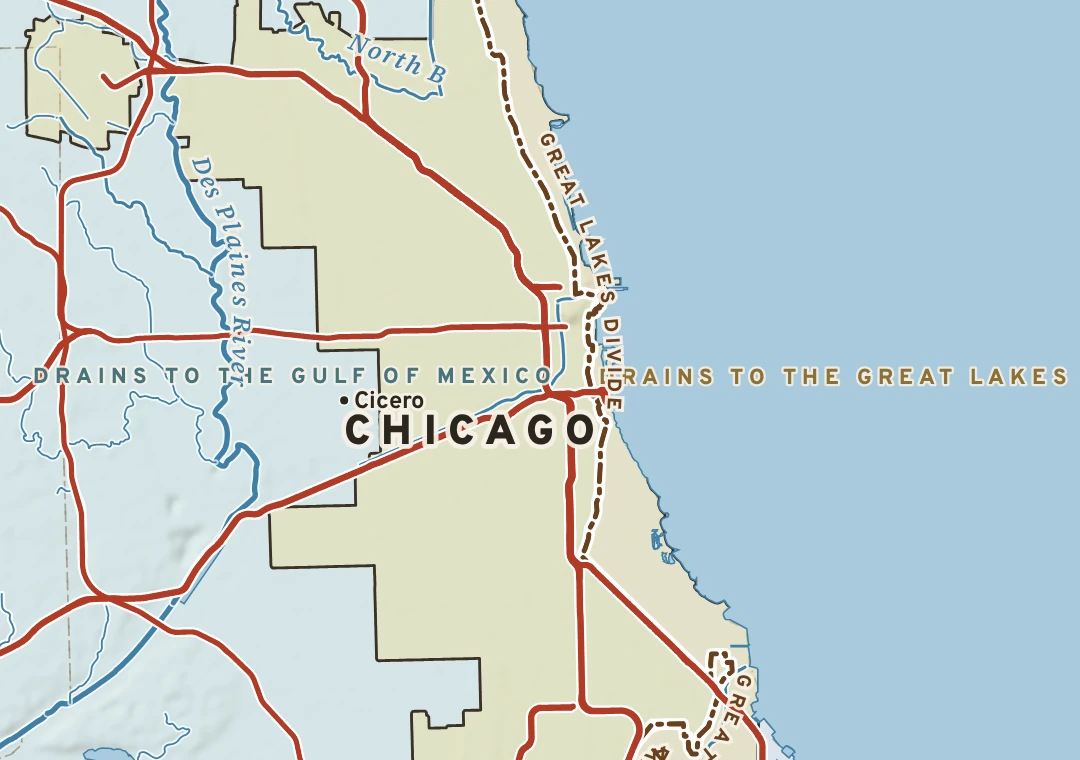
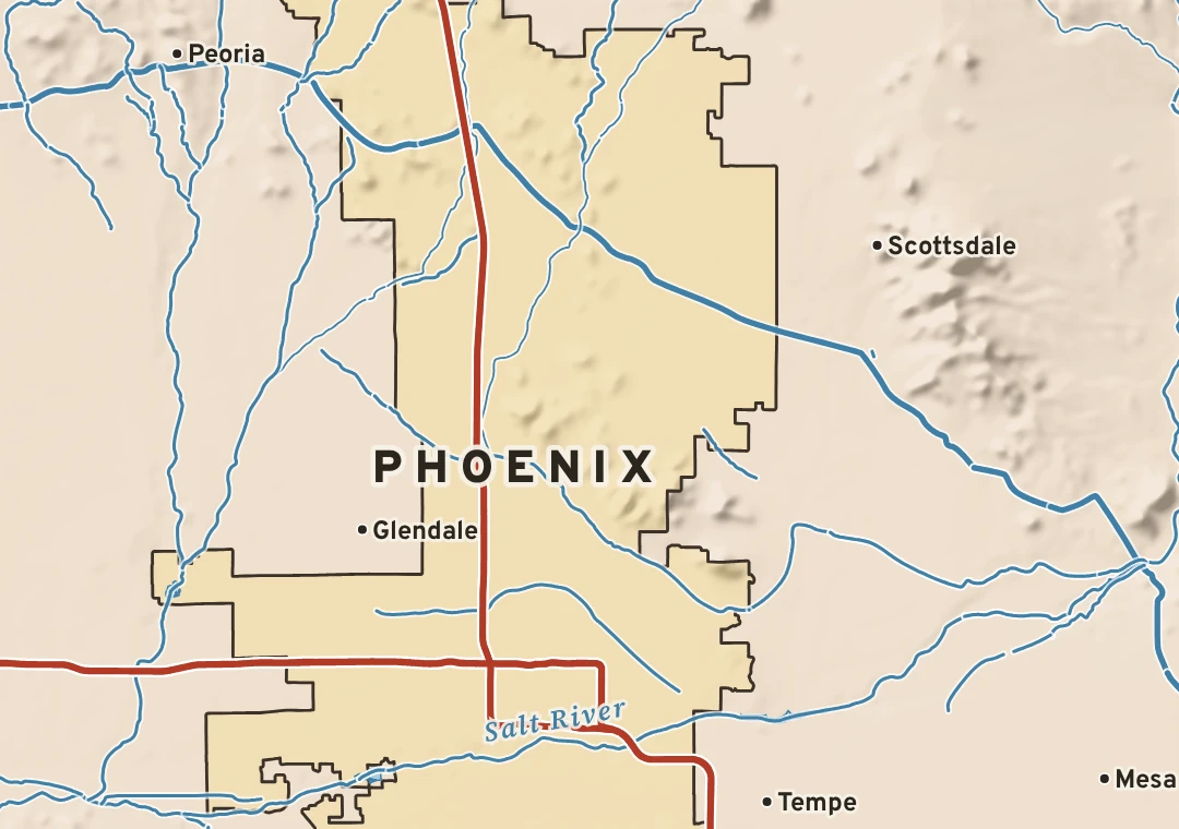
The ground each city stands on, the water it drains to, what grows and lives there, the climate that shaped it, and the roads that tie it to everywhere else, with today’s forecast laid on top. Made by meteorologists.

The seven-day forecast against the normal, where today’s air came from, and what happened this week in years past.
Bedrock, faults and soil, a cross-section through the city, deep time, and the stone its landmarks are built from.
Follow a raindrop from city hall to the sea: every creek, river, dam and river mile on the way.
The trees, flowers, birds and animals of the city, with what is in season this week marked on each.
Normals, records, seasons and the storms that shaped the city, on one ring you can read at a glance.
How the city was built, and the weather down every road out of it, mile by mile, from The System.
The parks, slopes, corridors, models and scorecards on the rest of the Forecast Network, chosen for this city.
The plate, the forecast and one field note, sized for email and social, for any city you follow.
Free with one Forecast Network login. Pick up to five cities.