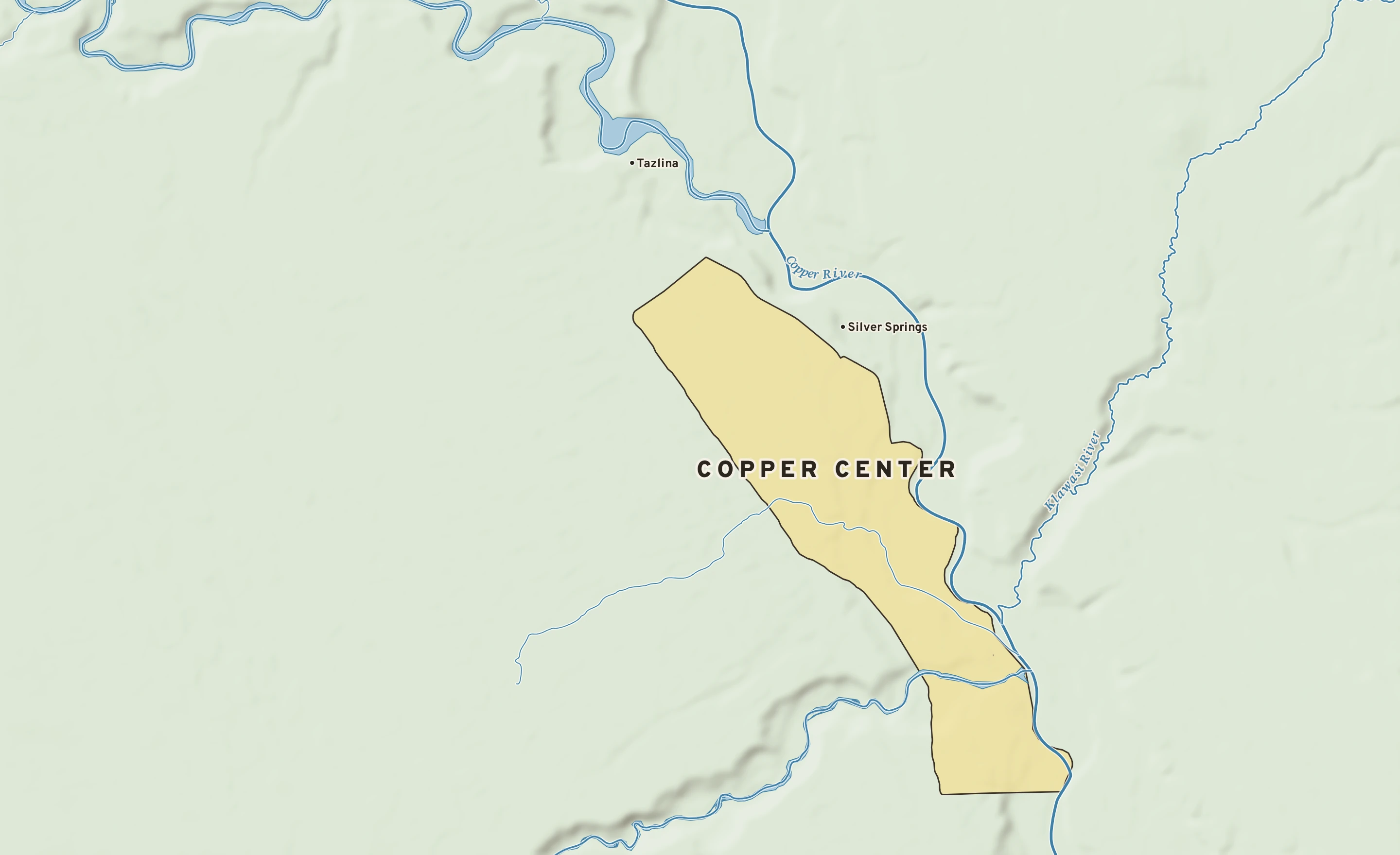
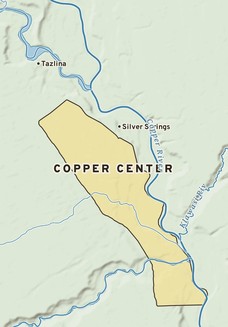
Copper Center has a dry-summer subarctic climate. Summer afternoons average 70° in July; winter nights fall to about −14° in January. About 12 inches of rain fall in a normal year.
July, average70° / 46° · high / low, the warmest month
January, average4° / −14° · high / low, the coldest month
Rain a year12.1 in · wettest months: August and July
Hottest on record96°F · July 9, 2009
Coldest on record−61°F · January 5, 1975
Wettest day on record3.80 in · July 22, 2010
Snowiest day on record22.0 in · December 12, 2022
Climate typeDry-summer subarctic · Köppen Dsc
1Highs below freezing · Oct. 21 to March 25; normal highs stay below 32°
2Lows below freezing · Sept. 15 to May 22; normal lows fall below 32°
3Wettest stretch · June through August: 5.0 of the year’s 12.1 inches
NOVEMBER 14 IN THE RECORDOn November 14 Copper Center normally reaches 14° and falls to −4°. The record high is 43°, in 1976; the record low −43°, in 1989. The most rain on this date, 0.55 in, fell in 1993.