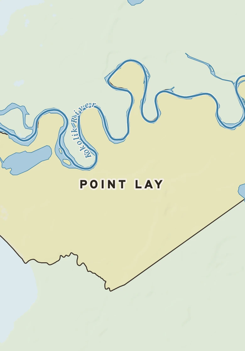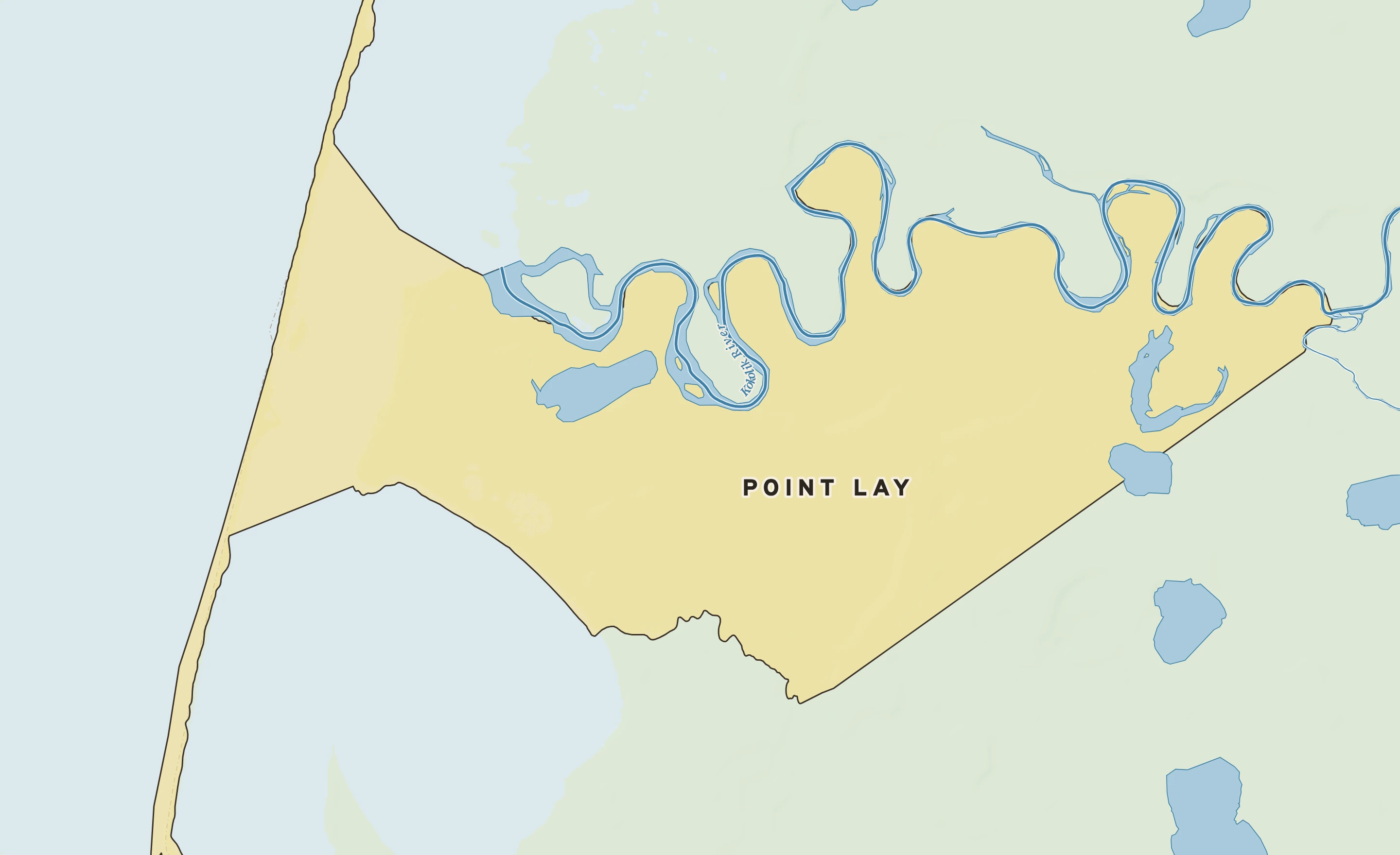
RIGHT NOW
Point Lay LRRS Airport (PPIZ) · 12:42 PM

12°
Sunny
Feels like -10° · high of 11° near 12 PM
WindENE 32 mphgusts 41
Humidity92%falling to 83% this afternoon
Pressure29.73 in →steady
Visibility2 mifog or heavy haze
CloudsClear
UV index0none after dark
Dew point 10° · Dryabout the same for three days
DryComfortableStickyMuggyOppressive