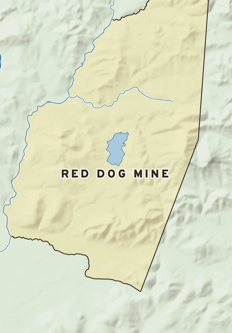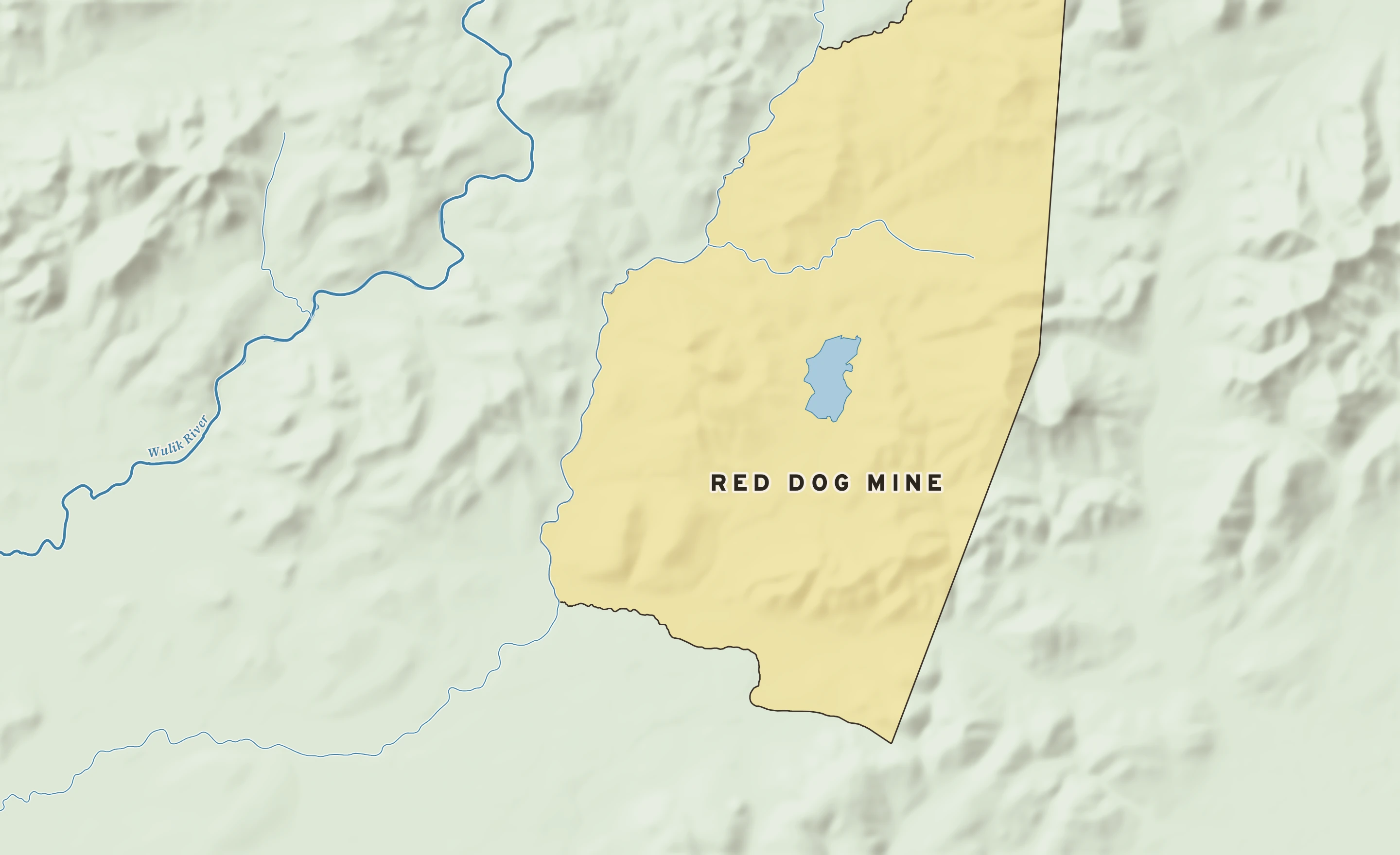
The Red Dog Mine plate. Relief from Copernicus GLO-30; rivers and lakes from USGS NHD; watersheds from the USGS Watershed Boundary Dataset; roads and city limits from Census TIGER 2024.
Red Dog Mine’s center stands about 890 ft above sea level. Within three miles the land runs from 660 ft to 2,270 ft, a difference of 1,610 ft: steep hill country. The highest named summit within 15 miles is Mount Raven, about 3,780 ft, 8 miles north-northeast.
Heights every 0.1 mile from the Copernicus GLO-90 surface model; vertical exaggeration about 7×.
Heights from Copernicus GLO-90 (a surface model: it includes buildings and tree canopy); summits from USGS GNIS; rivers from USGS NHDPlus HR.