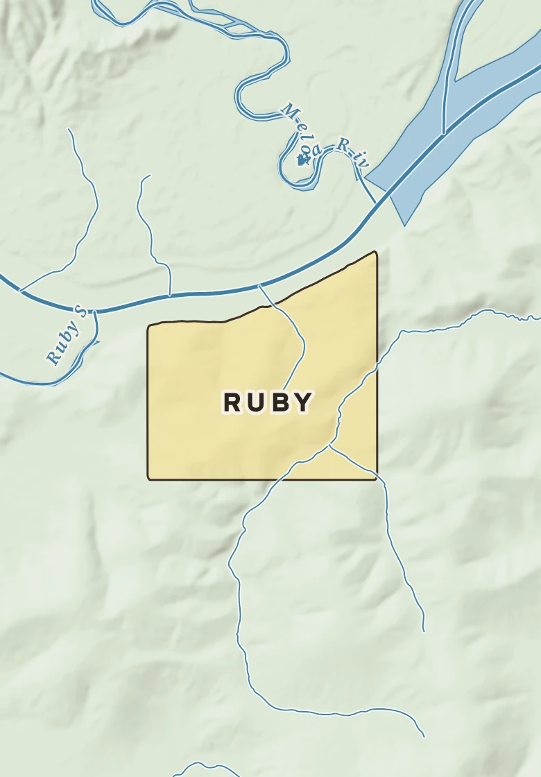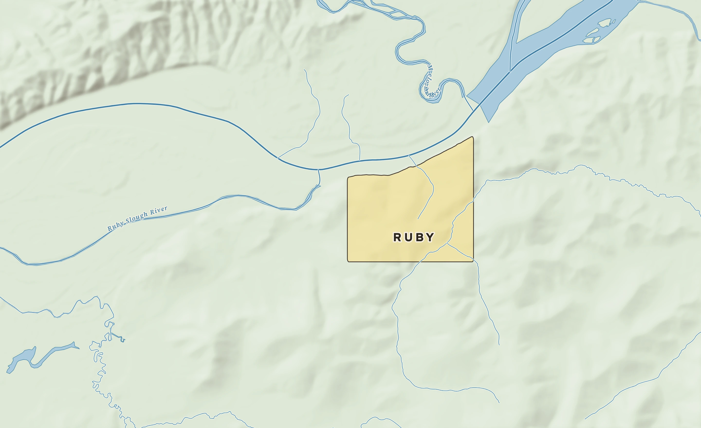
The Ruby plate. Relief from Copernicus GLO-30; rivers and lakes from USGS NHD; watersheds from the USGS Watershed Boundary Dataset; roads and city limits from Census TIGER 2024.
Ruby’s center stands about 280 ft above sea level. Within three miles the land runs from 130 ft to 930 ft, a difference of 800 ft: hilly country. The highest named summit within 15 miles is Boston Dome, about 1,470 ft, 7 miles south-southeast.
Heights every 0.1 mile from the Copernicus GLO-90 surface model; vertical exaggeration about 10×.
Heights from Copernicus GLO-90 (a surface model: it includes buildings and tree canopy); summits from USGS GNIS; rivers from USGS NHDPlus HR.