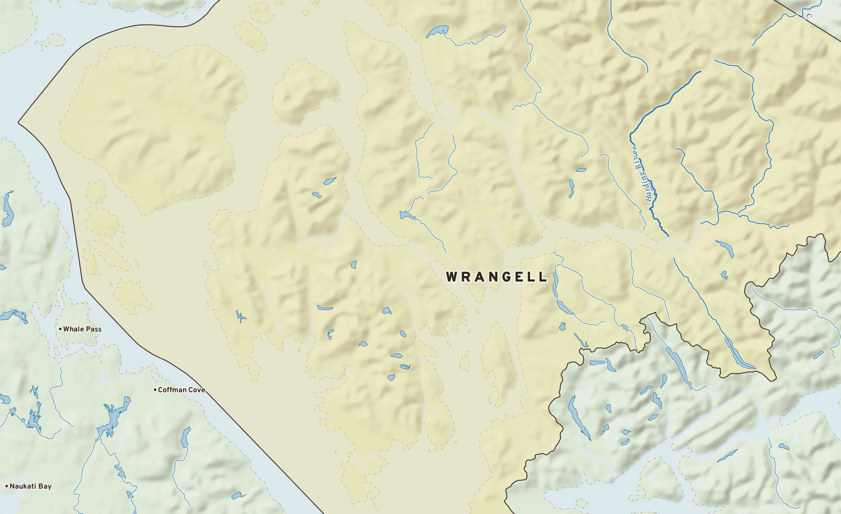
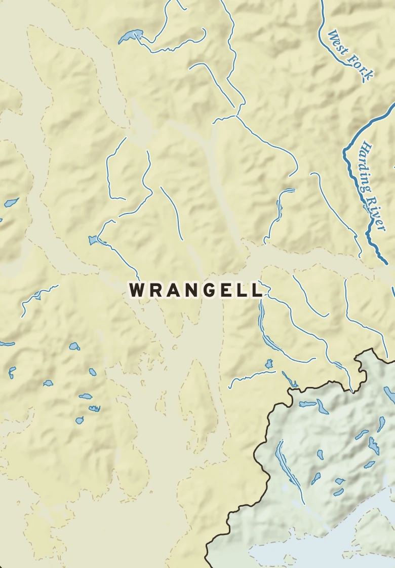
Wrangell has a cold desert climate. Summer afternoons average 64° in July; winter nights fall to about 29° in January. Barely 0.0 inches of rain fall in a normal year.
July, average64° / 52° · high / low, the warmest month
January, average36° / 29° · high / low, the coldest month
Rain a year0.0 in · spread evenly through the year
Hottest on record92°F · July 25, 1934
Coldest on record−10°F · January 14, 1974
Wettest day on record5.50 in · October 26, 1993
Snowiest day on record30.0 in · February 5, 1947
Climate typeCold desert · Köppen BWk
NOVEMBER 14 IN THE RECORDOn November 14 Wrangell normally reaches 41° and falls to 35°. The record high is 59°, in 1976; the record low 12°, in 1955. The most rain on this date, 3.82 in, fell in 1979.