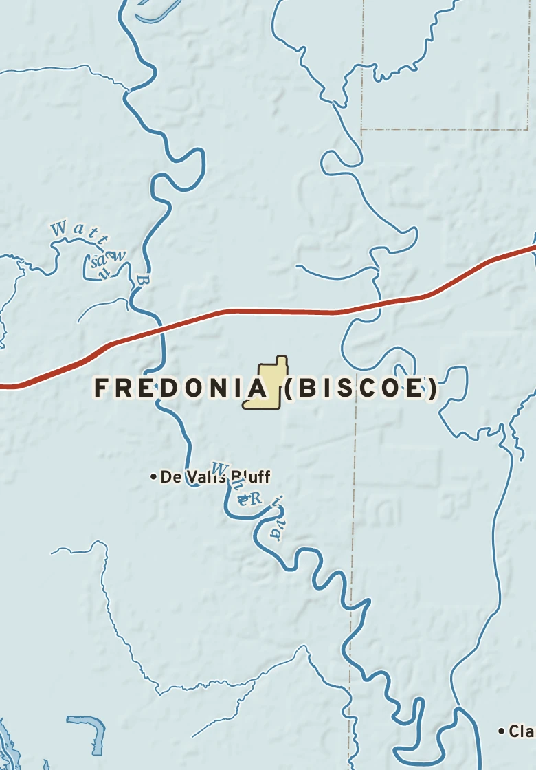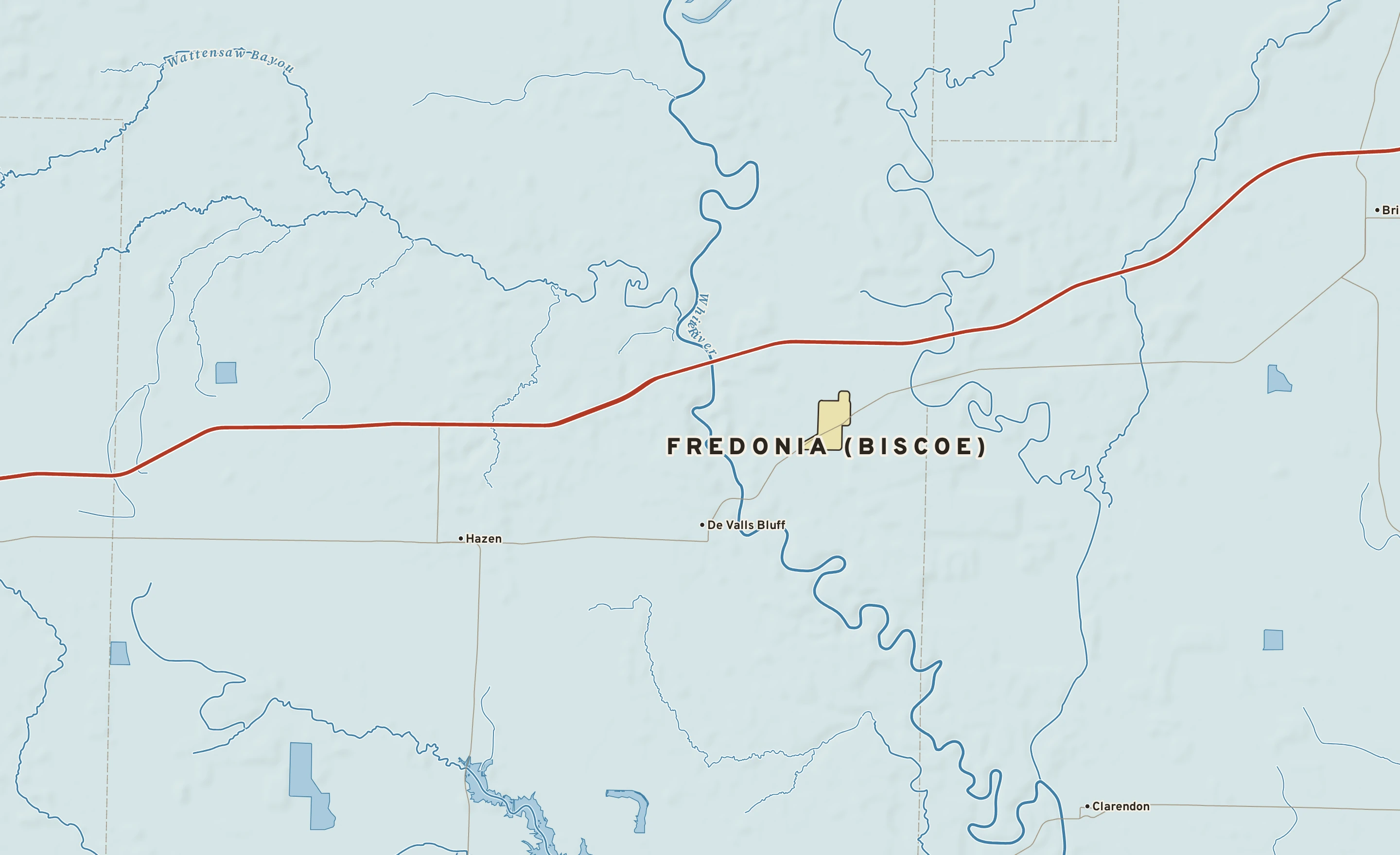
The Fredonia (Biscoe) plate. Relief from Copernicus GLO-30; rivers and lakes from USGS NHD; watersheds from the USGS Watershed Boundary Dataset; roads and city limits from Census TIGER 2024.
Fredonia (Biscoe)’s center stands about 190 ft above sea level. Within three miles the land runs from 160 ft to 250 ft, a difference of 90 ft: gently rolling country.
Under the town center the state geologic map shows Terrace deposits (coarse-detrital, fine-detrital), from the Pleistocene, less than 2.6 million years old.
The section below crosses 3 rock units mapped at the surface.
Heights every 0.1 mile from the Copernicus GLO-90 surface model; vertical exaggeration about 64×. The colored band under the surface is the rock the state geologic map shows at the surface, not a picture of what lies beneath.
Coarse-detrital, fine-detrital. Age: Pleistocene, less than 2.6 million years old. About 16 mi of the line.
Coarse-detrital, fine-detrital. Age: Holocene, less than 12,000 years old. About 6 mi of the line.
Coarse-detrital, fine-detrital. Age: Holocene, less than 12,000 years old. About 2 mi of the line.
From the USGS State Geologic Map Compilation (Horton and others, 2017), the states’ geologic maps joined at a common scale.
Heights from Copernicus GLO-90 (a surface model: it includes buildings and tree canopy); summits from USGS GNIS; rivers from USGS NHDPlus HR; rock from the USGS State Geologic Map Compilation.
A raindrop that lands in Fredonia (Biscoe) reaches the Gulf of America by way of the White River and the Mississippi: about 740 river miles.
620 miles of the trip are on the Mississippi.
Traced down the USGS NHDPlus V2.1 river network from the Census center point of Fredonia (Biscoe); river miles along the main stem, rounded.