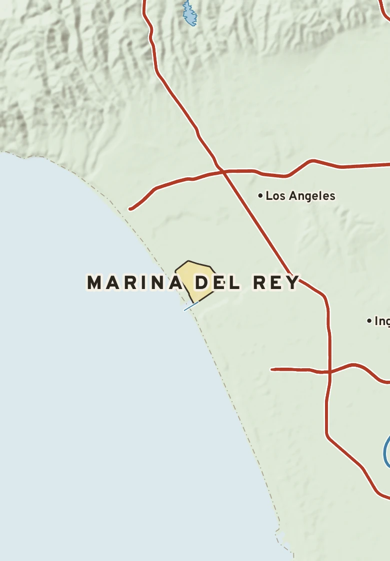
The Marina del Rey plate. Relief from Copernicus GLO-30; rivers and lakes from USGS NHD; watersheds from the USGS Watershed Boundary Dataset; roads and city limits from Census TIGER 2024.
94° on Nov. 12, 1974, the hottest reading for this week of the year since 1944. Next is 93° in 2019.
Marina del Rey’s center stands barely above sea level. Within three miles the land runs from 0 ft to 180 ft, a difference of 180 ft: gently rolling country. Open water lies within three miles. The highest named summit within 15 miles is Saddle Peak, about 2,770 ft, 14 miles west-northwest.
The section below crosses 6 rock units mapped at the surface.
Heights every 0.1 mile from the Copernicus GLO-90 surface model; vertical exaggeration about 15×. The colored band under the surface is the rock the state geologic map shows at the surface, not a picture of what lies beneath.
Coarse-detrital. Age: Pleistocene to Holocene, less than 2.6 million years old. About 7 mi of the line.
Coarse-detrital. Age: Pleistocene, less than 2.6 million years old. About 2 mi of the line.
Granodiorite. Age: Permian to Tertiary, 2.6 to 260 million years old. About 2 mi of the line.
Sandstone, mudstone. Age: Oligocene to Pliocene, 2.6 to 34 million years old. About 0.6 mi of the line.
Basalt, andesite. Age: Late Oligocene to Late Miocene, 8 to 25 million years old. About 0.6 mi of the line.
Sandstone, siltstone-mudstone. Age: Late Cretaceous, 66 to 100 million years old. About 0.5 mi of the line.
From the USGS State Geologic Map Compilation (Horton and others, 2017), the states’ geologic maps joined at a common scale.
Heights from Copernicus GLO-90 (a surface model: it includes buildings and tree canopy); summits from USGS GNIS; rivers from USGS NHDPlus HR; rock from the USGS State Geologic Map Compilation.
Rain that falls on Marina del Rey runs straight into the Pacific Ocean.
Traced down the USGS NHDPlus V2.1 river network from the Census center point of Marina del Rey; river miles along the main stem, rounded.
Marina del Rey has a cold semi-arid climate. Summer afternoons average 77° in August; winter nights fall to about 49° in December. About 12 inches of rain fall in a normal year.
On November 14 Marina del Rey normally reaches 71° and falls to 54°. The record high is 90°, in 2013; the record low 43°, in 2000. The most rain on this date, 1.27 in, fell in 1972.
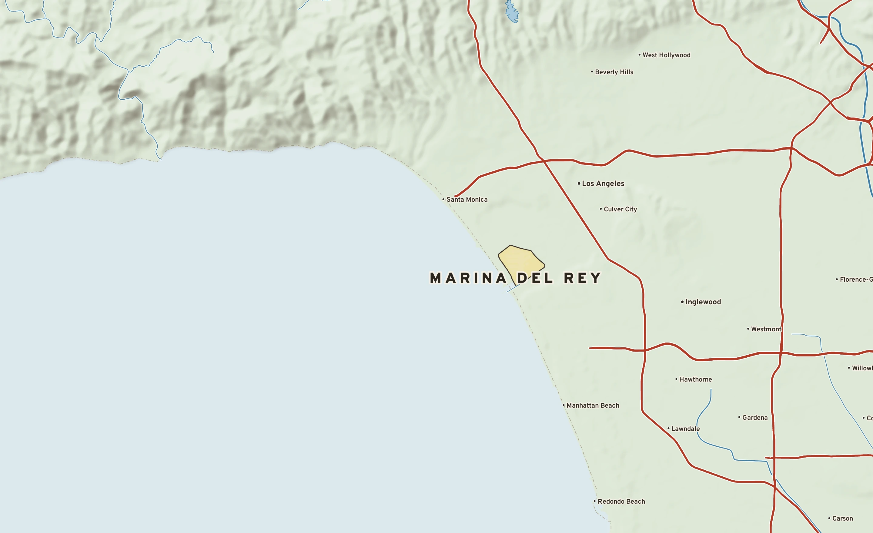
Normals 1991–2020 and records since 1944 from the Los Angeles Airport Area threaded record (Los Angeles International Airport, 5 miles southeast). NOAA, through RCC-ACIS.