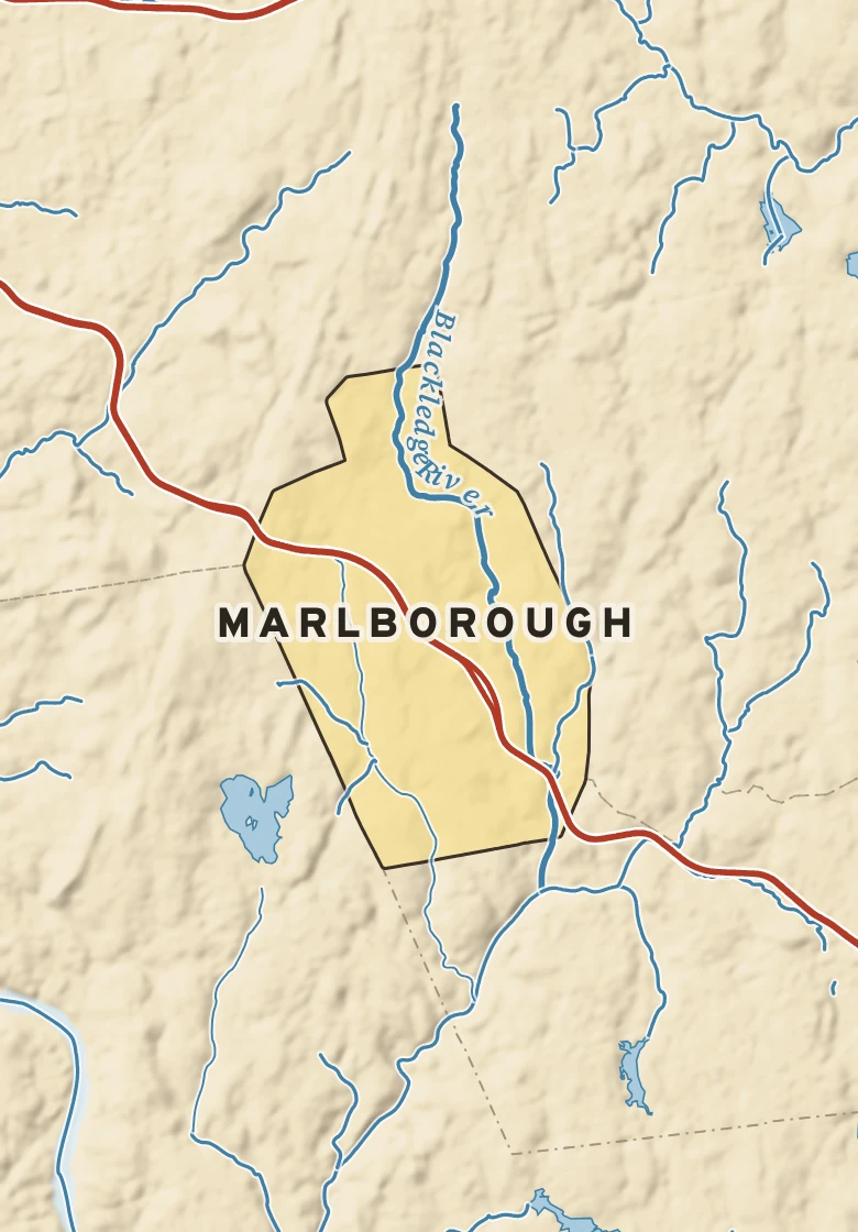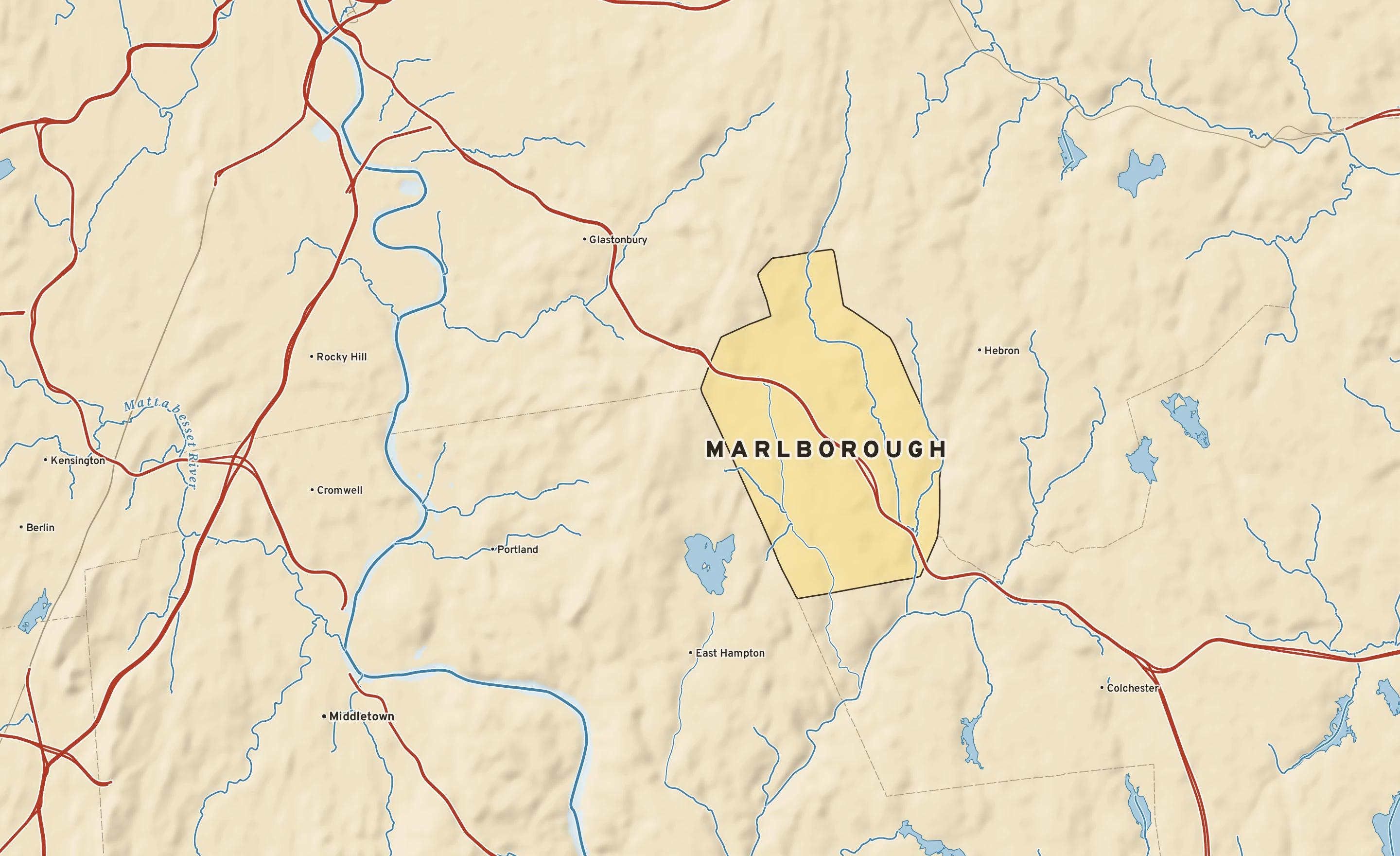
The Marlborough plate. Relief from Copernicus GLO-30; rivers and lakes from USGS NHD; watersheds from the USGS Watershed Boundary Dataset; roads and city limits from Census TIGER 2024.
MILE1
TODAY
Today in Marlborough
NWS forecast and National Blend of Models · updated 2:00 PM EDT
RIGHT NOWBradley International Airport (KBDL) · 2:51 PM
69°SunnyFeels like 69° · high of 70° near 3 PM
WindNW 6 mphno gusts
Humidity63%rising to 100% by morning
Pressure29.96 in →steady
Visibility10 mihaze-free
CloudsClear
UV index—no forecast
Dew point 56° · Comfortableabout the same for three days
DryComfortableStickyMuggyOppressive
NEXT RAIN
Friday30% chance · showers
LIKELY AMOUNT—amounts come within 3 days
LAST RAINSept. 270.69 in · 2 dry days
ALERTS & OUTLOOKS
No watches or warnings for Capitol Planning Region
NWS Norton and the Storm Prediction Center · checked 3:46 PM
SUN & MOON
↑ 6:44 AM6:35 PM ↓
11 h 51 m of daylight, 3 minutes less than yesterday
Waning gibbous, 89% lit. The Harvest Moon was full Saturday.
AIR & POLLEN
18
GOODAir quality index · ozone
Tomorrow: 39, good. No pollen source yet.
The next three days, hour by hour
Sky: clear, cloudy, nightRain likelyNational Blend of Models
Forecast, with the range 8 in 10 ensemble members agree onNormal, about 70° / 49°
TUESept. 29Partly cloudy
70°52°
0% rain—NNW 7A
WEDSept. 30Partly cloudy
75°57°
0% rain—S 1A
THUOct. 1Partly cloudy
79°64°
0% rain—SW 8B
FRIOct. 2Chance of showers
82°58°
30% rainup to 0.1″WNW 13C
SATOct. 3Partly cloudy; cooler
71°47°
20% rain—NNE 7B
SUNOct. 4Chance of showers
67°48°
40% rainup to 0.9″S 8C
MONOct. 5Mostly sunny
66°41°
10% rain—NW 13C
How sure are we?AModels agree: highs within 4°BSome spread: within 8°CWide spread: check backRange from the National Blend of Models percentiles · graded on Forecast Scores
AIR MAIL
Where today’s air came from
The air arriving over Marlborough about 5,000 feet above the ground was over the Atlantic off the Carolinas three days ago, and over the western Atlantic a day ago, about 1,330 miles back along its path. Most of the nine paths traced from around the city agree. Near the ground the air came from a point about 700 miles to the northeast; at 10,000 feet, from the Great Lakes. Traced back 72 hours through NOAA’s hourly RAP analyses and the GFS beyond them, nine paths at each of three heights.