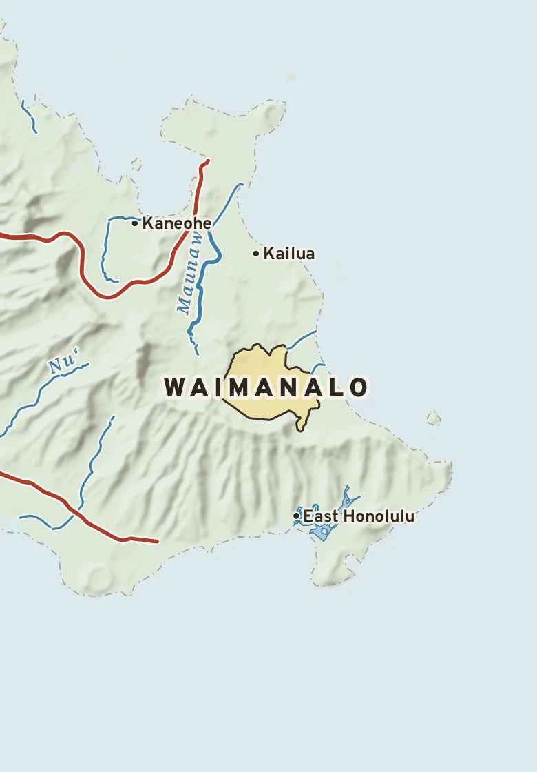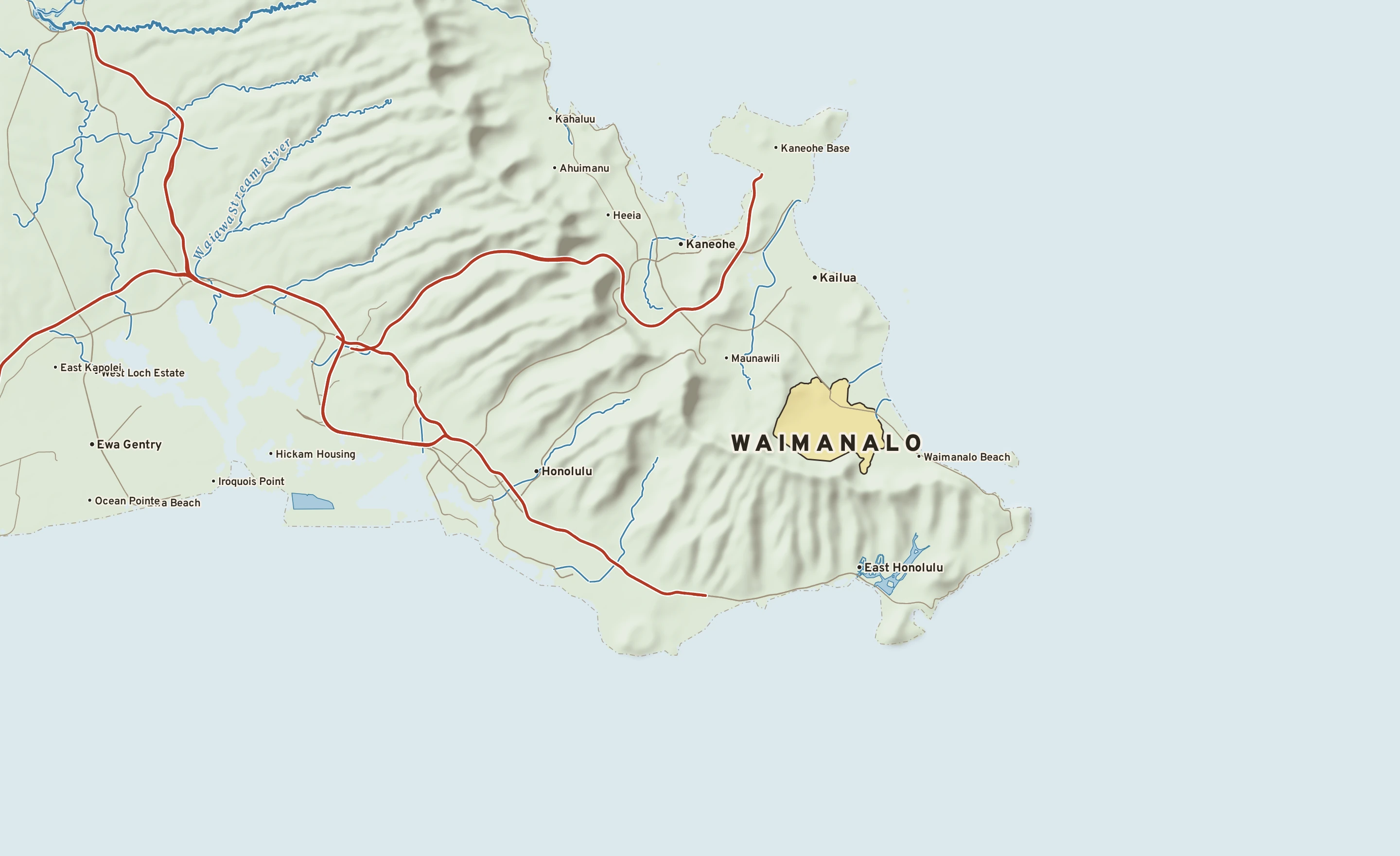
The Waimanalo plate. Relief from Copernicus GLO-30; rivers and lakes from USGS NHD; watersheds from the USGS Watershed Boundary Dataset; roads and city limits from Census TIGER 2024.
89° on Nov. 17, 2022, the hottest reading for this week of the year since 1975. Next is 87° in 1986.
Waimanalo’s center stands about 80 ft above sea level. Within three miles the land runs from 0 ft to 2,260 ft, a difference of 2,260 ft: mountain country. Open water lies within three miles. The highest named summit within 15 miles is Kōnāhuanui, about 2,980 ft, 4 miles west-northwest.
Heights every 0.1 mile from the Copernicus GLO-90 surface model; vertical exaggeration about 8×.
Heights from Copernicus GLO-90 (a surface model: it includes buildings and tree canopy); summits from USGS GNIS; rivers from USGS NHDPlus HR.
Waimanalo has a tropical rainforest climate. Summer afternoons average 81° in September; winter nights fall to about 63° in January. About 151 inches of rain fall in a normal year.
On November 14 Waimanalo normally reaches 78° and falls to 68°. The record high is 85°, in 1983; the record low 60°, in 2010. The most rain on this date, 7.05 in, fell in 1990.
Normals 1991–2020 and records since 1975 at Manoa Lyon Arbo 785.2, 5 miles west, 420 ft higher. NOAA, through RCC-ACIS.