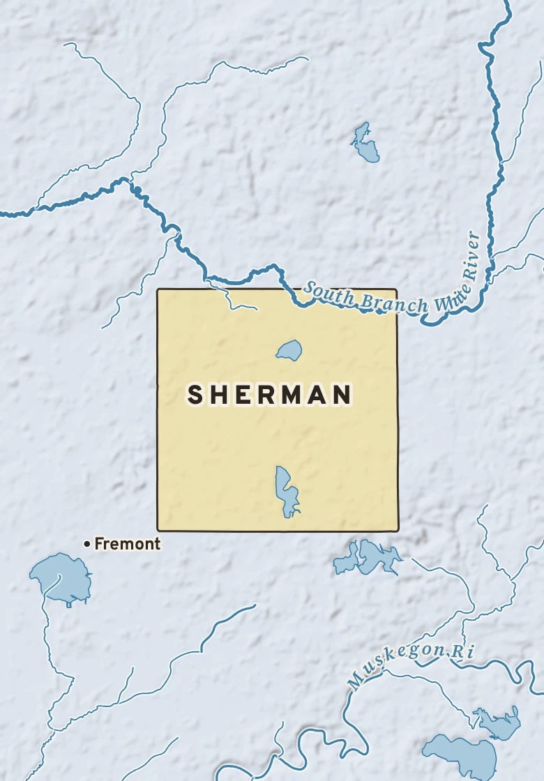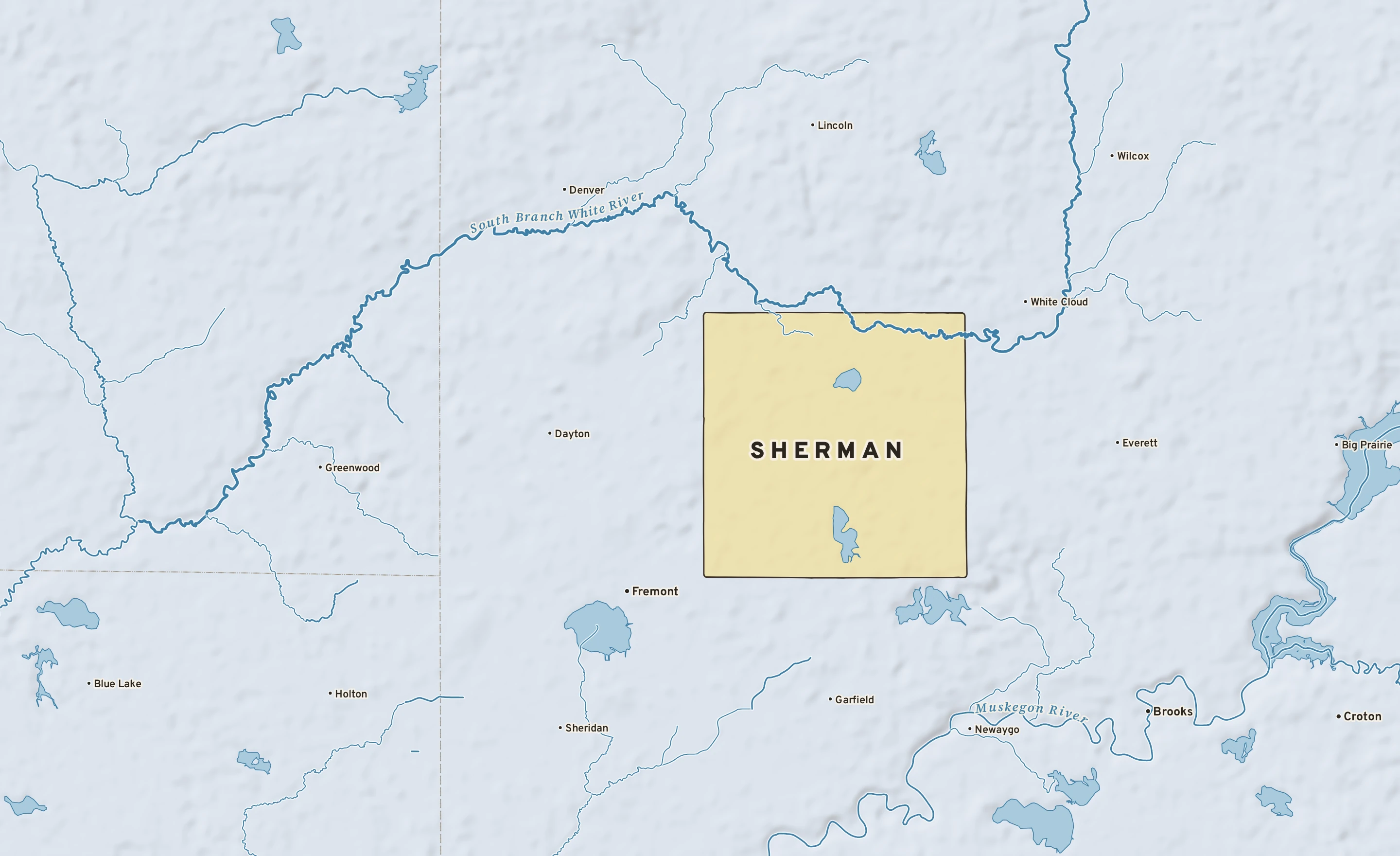
The Sherman plate. Relief from Copernicus GLO-30; rivers and lakes from USGS NHD; watersheds from the USGS Watershed Boundary Dataset; roads and city limits from Census TIGER 2024.
Sherman’s center stands about 850 ft above sea level. Within three miles the land runs from 790 ft to 950 ft, a difference of 160 ft: gently rolling country. The highest named summit within 15 miles is Skidder Hill, about 1,030 ft, 10 miles north.
Under the town center the state geologic map shows Bayport Limestone, from the Carboniferous, 324 to 359 million years old.
The section below crosses 2 rock units mapped at the surface.
Heights every 0.1 mile from the Copernicus GLO-90 surface model; vertical exaggeration about 46×. The colored band under the surface is the rock the state geologic map shows at the surface, not a picture of what lies beneath.
Shale. Age: Carboniferous, 324 to 359 million years old. About 12 mi of the line.
Limestone. Age: Carboniferous, 324 to 359 million years old. About 12 mi of the line.
From the USGS State Geologic Map Compilation (Horton and others, 2017), the states’ geologic maps joined at a common scale.
Heights from Copernicus GLO-90 (a surface model: it includes buildings and tree canopy); summits from USGS GNIS; rivers from USGS NHDPlus HR; rock from the USGS State Geologic Map Compilation.
A raindrop that lands in Sherman reaches Lake Michigan by way of Robinson Creek, the South Branch White and the White River: about 60 river miles. From there it moves on through the Great Lakes, over Niagara Falls and down the St. Lawrence to the Atlantic.
Lake on the way: White Lake.
Traced down the USGS NHDPlus V2.1 river network from the Census center point of Sherman; river miles along the main stem, rounded.