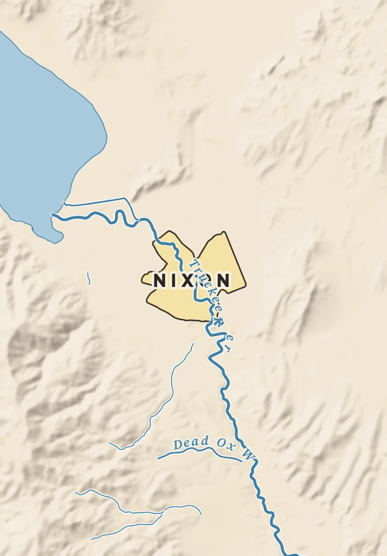
The Nixon plate. Relief from Copernicus GLO-30; rivers and lakes from USGS NHD; watersheds from the USGS Watershed Boundary Dataset; roads and city limits from Census TIGER 2024.
24° on Nov. 16, 2014, the coldest reading for this week of the year since 1967. Next is 25° in 1968.
Nixon’s center stands about 3,900 ft above sea level. Within three miles the land runs from 3,860 ft to 4,700 ft, a difference of 840 ft: hilly country. The highest named summit within 15 miles is Virginia Peak, about 8,340 ft, 7 miles southwest.
Under the town center the state geologic map shows Alluvium, undifferentiated (coarse-detrital, fine-detrital), from the Pleistocene to Holocene, less than 2.6 million years old.
The section below crosses 6 rock units mapped at the surface.
Heights every 0.1 mile from the Copernicus GLO-90 surface model; vertical exaggeration about 5×. The colored band under the surface is the rock the state geologic map shows at the surface, not a picture of what lies beneath.
Coarse-detrital, fine-detrital. Age: Pleistocene to Holocene, less than 2.6 million years old. About 6 mi of the line.
Coarse-detrital, fine-detrital. Age: Pliocene to Pleistocene, less than 5.3 million years old. About 5 mi of the line.
Felsic-volcanic. Age: Oligocene to Early Miocene, 16 to 34 million years old. About 5 mi of the line.
Andesite, basalt. Age: Oligocene to Miocene, 5.3 to 34 million years old. About 5 mi of the line.
Sedimentary, volcanic. Age: Miocene to Pliocene, 2.6 to 23 million years old. About 2 mi of the line.
Granitic, granodiorite, quartz-monzonite. Age: Jurassic to Miocene, 5.3 to 202 million years old. About 1 mi of the line.
From the USGS State Geologic Map Compilation (Horton and others, 2017), the states’ geologic maps joined at a common scale.
Heights from Copernicus GLO-90 (a surface model: it includes buildings and tree canopy); summits from USGS GNIS; rivers from USGS NHDPlus HR; rock from the USGS State Geologic Map Compilation.
Rain that falls on Nixon runs only a short way, about 4 miles, to Pyramid Lake. Pyramid Lake has no outlet to the sea: the water leaves only by evaporating or soaking into the ground.
Traced down the USGS NHDPlus V2.1 river network from the Census center point of Nixon; river miles along the main stem, rounded.
Nixon has a cold desert climate. Summer afternoons average 88° in July; winter nights fall to about 30° in January. About 7 inches of rain fall in a normal year, with about 4 inches of snow.
On November 14 Nixon normally reaches 52° and falls to 38°. The record high is 69°, in 1996; the record low 25°, in 1994. The most rain on this date, 1.32 in, fell in 1981.
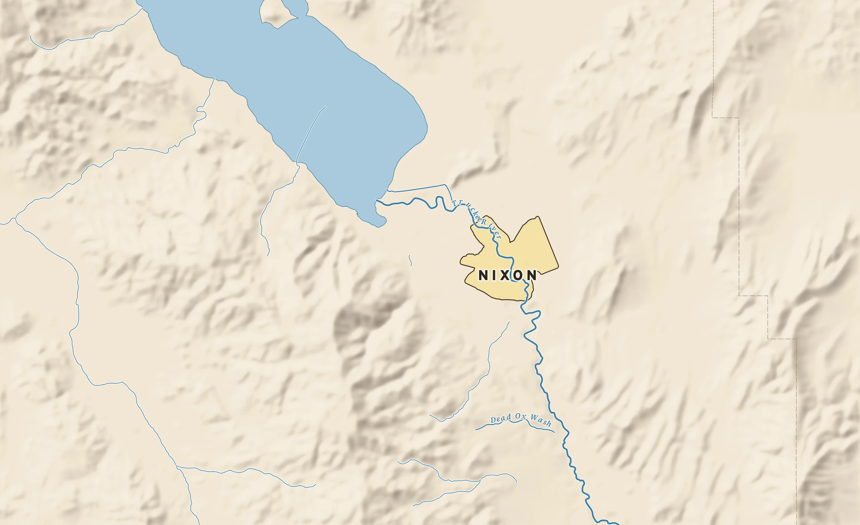
Normals 1991–2020 and records since 1967 at Sutcliffe, 15 miles west-northwest. NOAA, through RCC-ACIS.