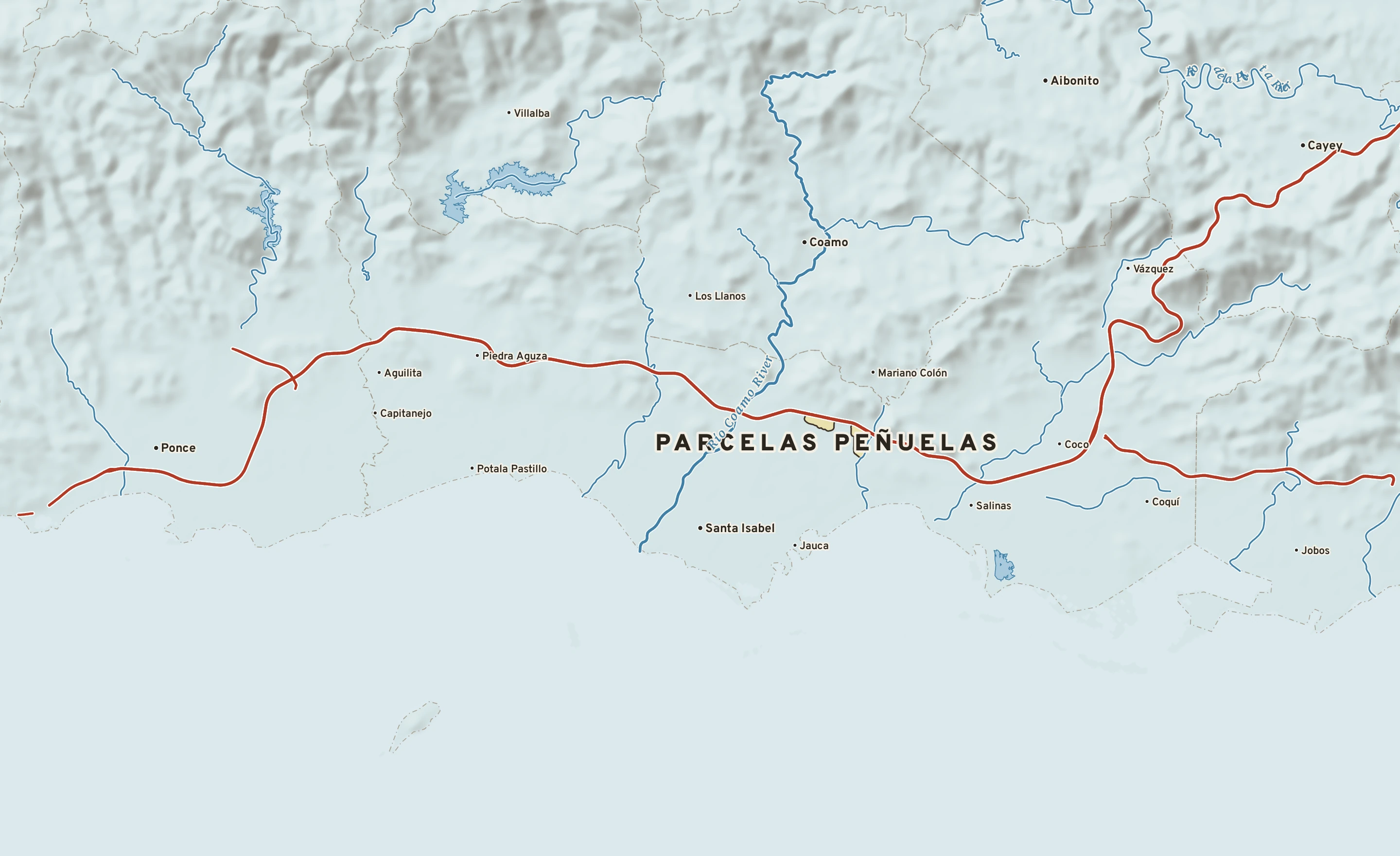
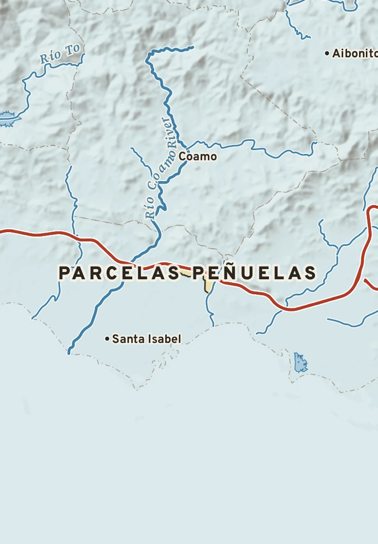
Parcelas Peñuelas has a tropical savanna climate. Summer afternoons average 89° in August; winter nights fall to about 66° in January. About 40 inches of rain fall in a normal year.
August, average89° / 73° · high / low, the warmest month
January, average84° / 66° · high / low, the coldest month
Rain a year40.4 in · wettest months: September and October
Hottest on record100°F · September 18, 2020
Coldest on record51°F · December 3, 2013
Wettest day on record12.3 in · October 7, 1985
Climate typeTropical savanna · Köppen Aw
NOVEMBER 14 IN THE RECORDOn November 14 Parcelas Peñuelas normally reaches 87° and falls to 70°. The record high is 91°, in 2018; the record low 62°, in 2001. The most rain on this date, 2.30 in, fell in 1999.