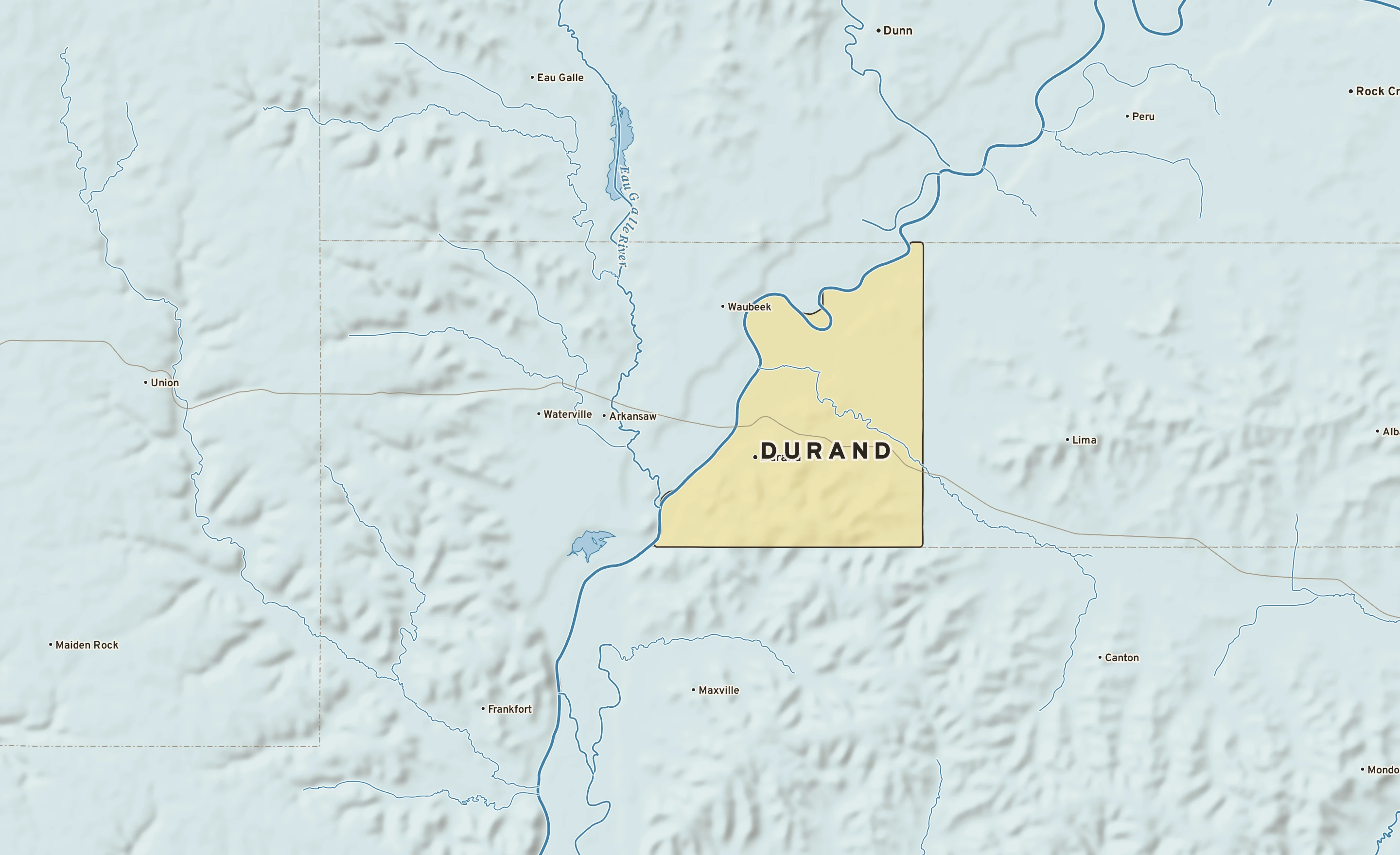
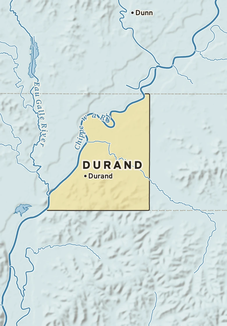
The Durand plate. Relief from Copernicus GLO-30; rivers and lakes from USGS NHD; watersheds from the USGS Watershed Boundary Dataset; roads and city limits from Census TIGER 2024.
MILE1
TODAY
Today in Durand
NWS forecast and National Blend of Models · updated 1:00 PM CDT
RIGHT NOWMenomonie Municipal Airport-Score Field (KLUM) · 1:55 PM
71°SunnyFeels like 71° · high of 69° near 2 PM
WindSE 12 mphgusts 20
Humidity52%falling to 61% this afternoon
Pressure29.84 in →steady
Visibility10 mihaze-free
CloudsClear
UV index—no forecast
Dew point 52° · Dry35° by Friday: drier air arrives
DryComfortableStickyMuggyOppressive
NEXT RAIN
Today, about 5 PMin about 3 hours · 69% chance · rain
LIKELY AMOUNT—amounts come within 3 days
LAST RAINSept. 250.06 in · 4 dry days
ALERTS & OUTLOOKS
No watches or warnings for Pepin County
NWS Twin Cities/Chanhassen and the Storm Prediction Center · checked 2:22 PM
SUN & MOON
↑ 7:02 AM6:53 PM ↓
11 h 50 m of daylight, 3 minutes less than yesterday
Waning gibbous, 89% lit. The Harvest Moon was full Saturday.
AIR & POLLEN
38
GOODAir quality index · ozone
Tomorrow: None, good. No pollen source yet.
The next three days, hour by hour
Sky: clear, cloudy, nightRain likelyNational Blend of Models
Sticky: dew points 55 to 67°↑ The front passesDrier: 35° by Friday
The next seven days, and how sure we are
Forecast, with the range 8 in 10 ensemble members agree onNormal, about 80° / 62°
TUESept. 29Showers likely
69°61°
70% rain—S 12A
WEDSept. 30Partly cloudy; warmer
77°58°
20% rain—WSW 5B
THUOct. 1Mostly cloudy; cooler
68°45°
0% rain—NNW 8B
FRIOct. 2Mostly sunny
66°44°
0% rain—WNW 5A
SATOct. 3Partly cloudy
66°46°
30% rain—S 6B
SUNOct. 4Mostly sunny
65°40°
0% rain—NW 5C
MONOct. 5Mostly sunny
63°45°
0% rain—SSE 3C
How sure are we?AModels agree: highs within 4°BSome spread: within 8°CWide spread: check backRange from the National Blend of Models percentiles · graded on Forecast Scores